Travel to Guayaquil
And arrival in Galapagos


We decided to travel this spring to Ecuador to visit the UNESCO site of the Galapagos Islands. We had hoped to travel with another couple from Oakland, but they had to cancel the trip at the last minute. We left home on April 8, 2024, to drive to SFO early enough to avoid heavy traffic on the Bay Bridge, and flew five and a half hours to Miami, 2,585 miles. There we stayed overnight at a hotel near the airport; this was to break up the long journey. The trip home would prove this was a sound decision.
April 9, 2024
We took a morning flight of 1,922 miles from Miami to the city of Guayaquil, a big port city founded in 1538, and the largest city in Ecuador, with a population of 2.7 million. It is located on the west bank of the Guayas River, which flows into the Pacific Ocean.
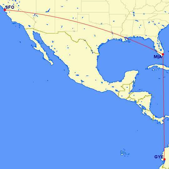
Here is the flight routing, a total distance of 4,507 miles.
After a smooth entry into the country, we drove about twenty minutes to our hotel, located in the City of Samborondón, an upscale suburb on the Guayas River across from Guayaquil. According to our phones, the outside air temperature felt like 102F!
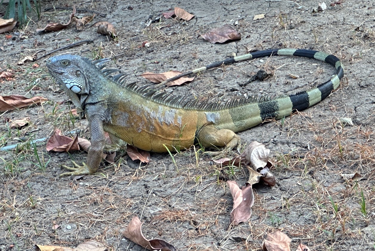
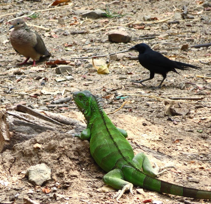
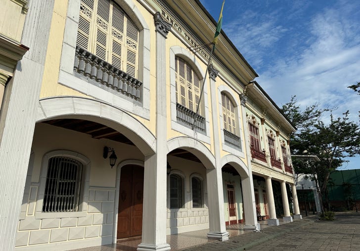
Because we had two early mornings and our body’s time clocks were confused, we took a nap for a bit. Then we walked around the historical park that surrounds the hotel. We saw farm animals, historic buildings, a large green iguana and some other animals.

Our first iguana sighting of the trip, below.
April 10, 2024
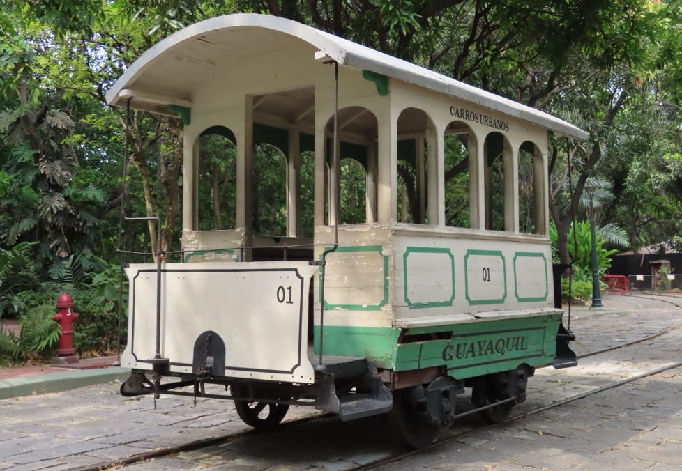
We hired a driver with an air-conditioned van to tour some sights in Guayaquil today. We drove across the Puente Rafael Mendoza Aviles Bridge and saw the monument to Guayas and Quil, symbols of the local people who refused to surrender to the Spanish conquistadors. We drove past the fantastic Capuchin Monkey Monument before entering the center of the city.
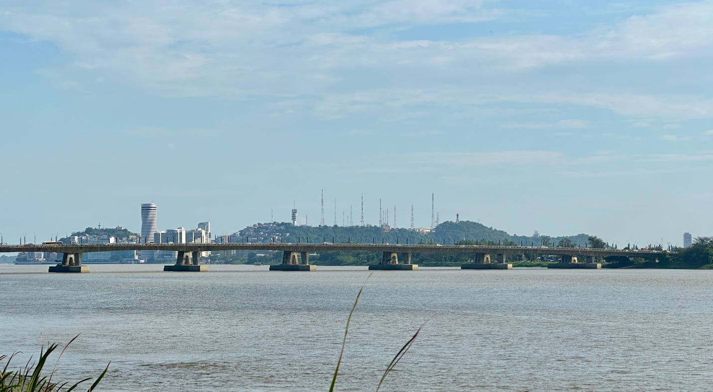
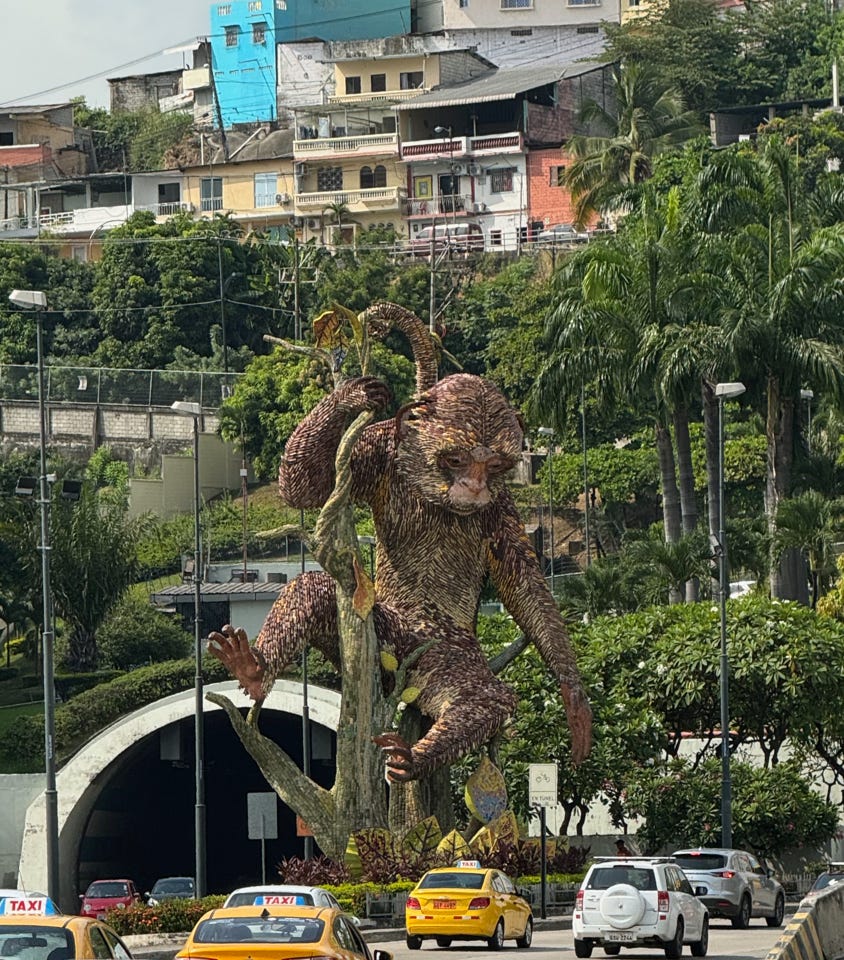
The bridge and view of Guayaquil, plus cool monkey monument statue.
We visited four museums and two historic squares. First, we went to the Museo Antropològico y Arte Contermporaneo which has artifacts dating back many centuries, including a fantastic collection from 3,500-1,800 BC discovered at Valdiva. It also houses a small collection of contemporary art. After touring the museum, we walked to the plaza above which offers a nice view of Aerovia, a cable car spanning the Guayas River and the El Faro lighthouse.
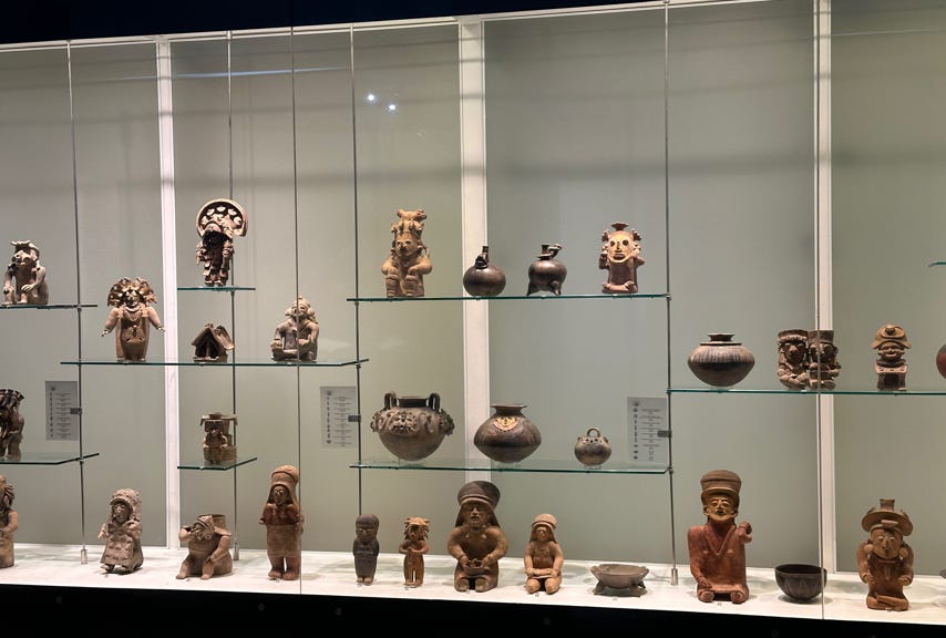
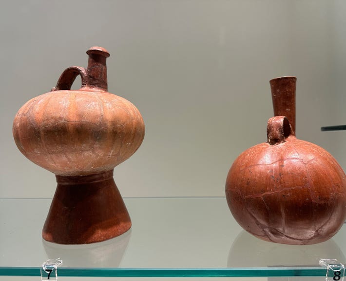
Two photos of artifacts in the MAAC museum.
Below, two views from the plaza nearby.
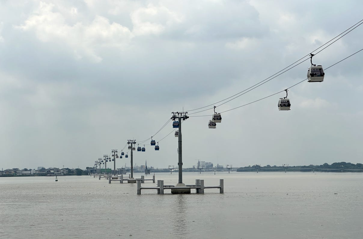
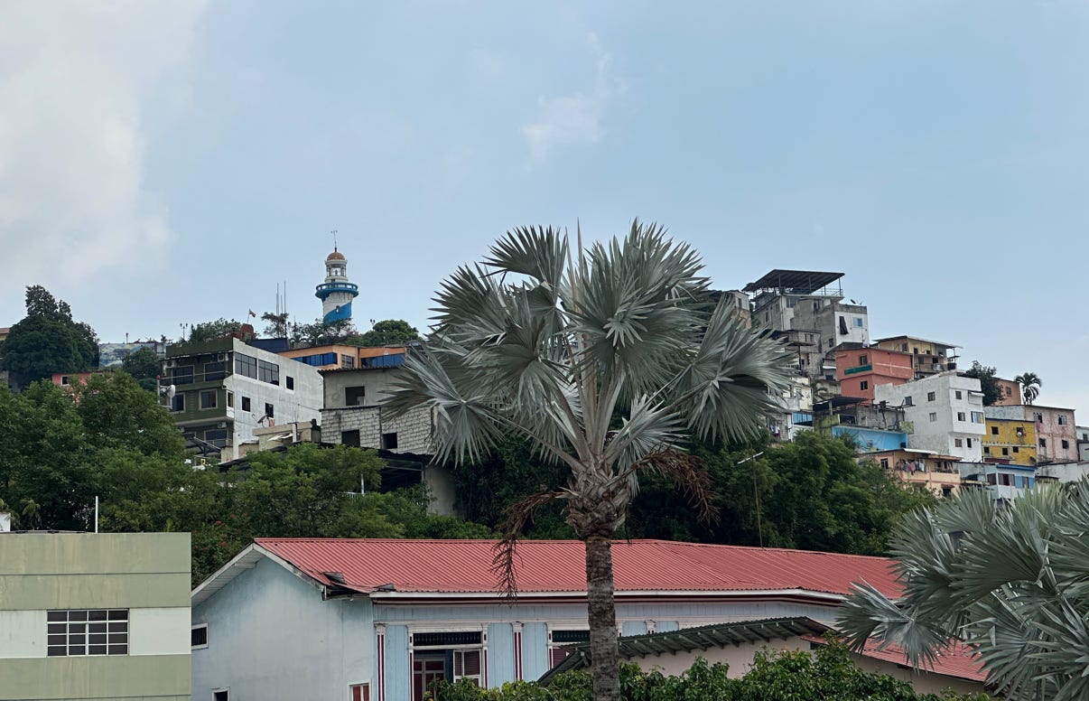
Due to the heat, we decided to forego climbing to the lighthouse.
Next, we visited the Museo Nahím Isaías, a very small museum with a collection of religious art from the colonial period. The museum is located amongst some attractive civic buildings and the College of Arts in the pedestrian Plaza de la Administracion. There is a nice monument to the independence of Ecuador along with other sculptures. From there, we walked a few blocks to the Parque Seminario, also known as Iguana Park. A very nice metropolitan cathedral with two tall towers faces the park.
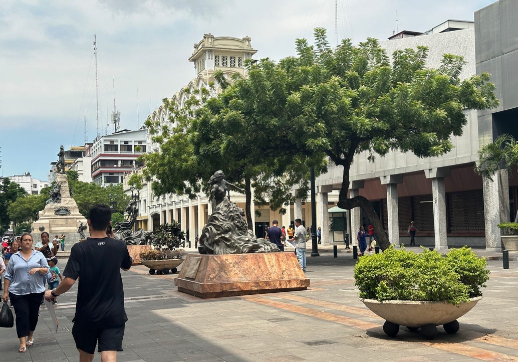
The central plaza, above, and cathedral, below.
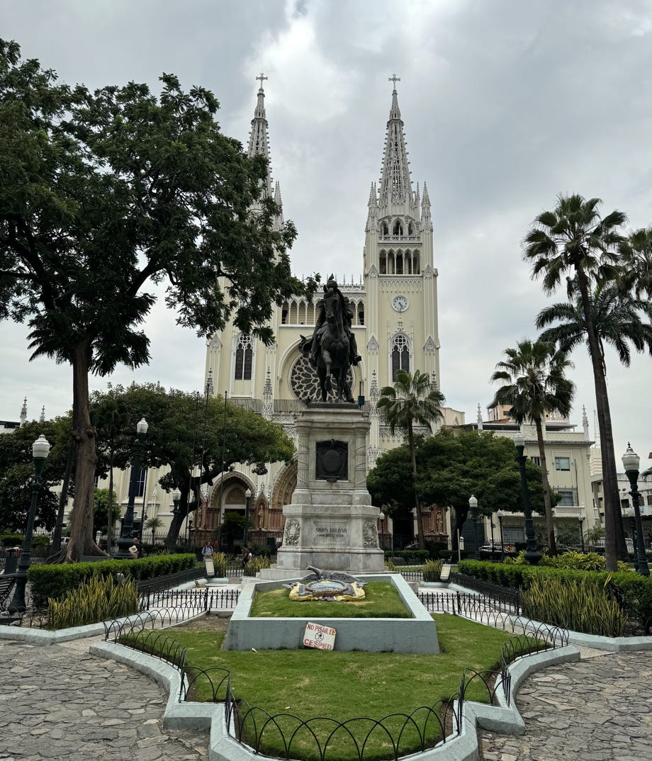
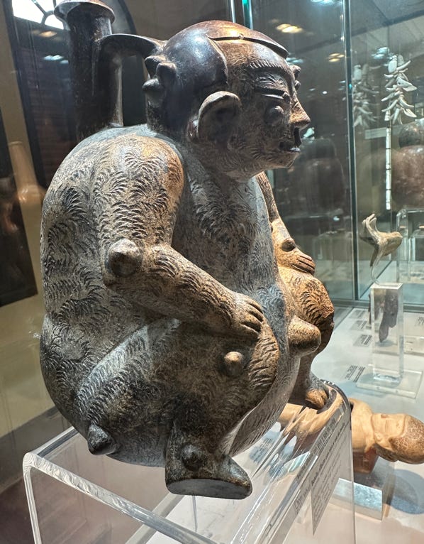
We then drove to the very fine Presley Norton Museum, located in a beautiful colonial building. It has a fantastic collection of archeological artifacts, including pottery and figures, some dating back to 3,000 BC. Here is a sample.
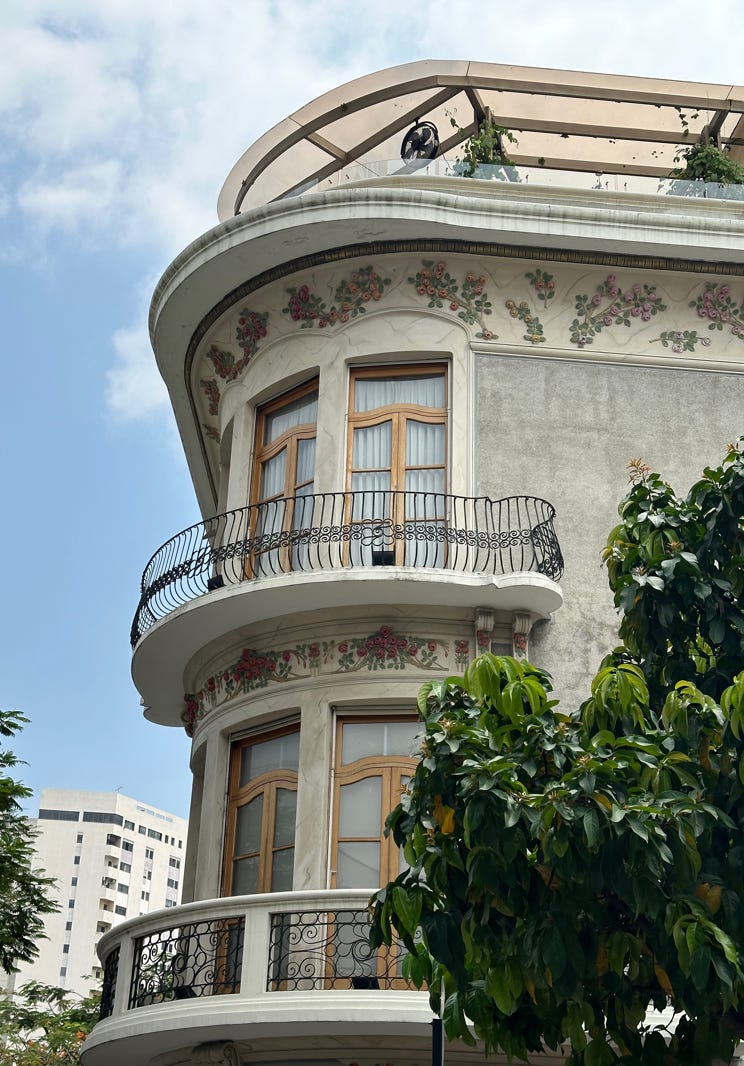
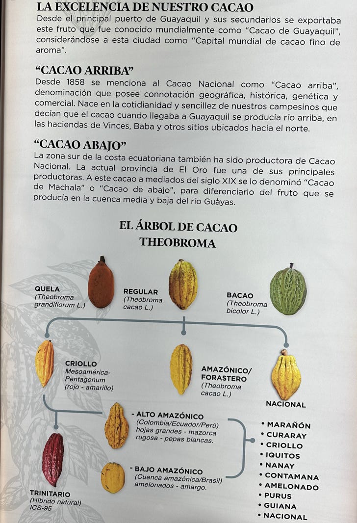
After that we drove back to the center of the city and visited the Museo del Cacao; Ecuador is a huge producer of cacao. The museum was mostly in Spanish but we translated some of the information using our phones. The museum contains information supporting the origin of cacao in the Ecuadorian Amazon in 3,300 B.C., 1,700 years before it reached Central America. Ecuador is the primary producer of a variety of the Criollo beans (Arriba Nacional) which are often described as the ‘grand cru’ of chocolates as they provide a fine flavor with rich aromas, many secondary notes and less bitterness. It is rarer and grown far less commonly around the world because it produces lower yields than the other varieties and is prone to fungi diseases and pests. It now makes up less than 1% of the world’s cocoa production. According to the museum, by the year 1700, Guayaquil was producing over 2.75 million pounds of cacao. The photos below show the exterior of the museum and a display about the cacao varieties.
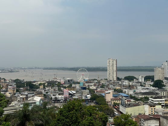
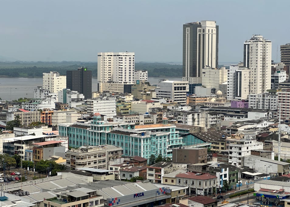
After having lunch at a cafe across the street from the museum, we drove past the La Peña neighborhood and up to the Monumento Sagrado Corazón de Jesus. Due to the high temperature, we elected not to climb up the long staircase to the statue, but we did have a good view of the large city. Photos below and at top of page.
We then returned to our hotel and rested/cooled off before we explored the surrounding historical park a bit more.
Dinner was at a local restaurant in an upscale shopping area known as Plaza Lagos, which featured numerous restaurants. We are going to return tomorrow to try another restaurant there. With care and attention (e.g., use of hotel-furnished transportation), we found Guayaquil not nearly as problematic as news reports suggest.
April 11, 2024
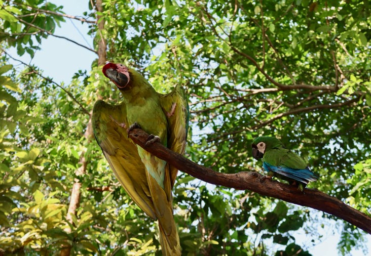
This morning, we took a walk in the animal park, which is a part of the historical park at the hotel. The park has many tropical animals and birds. It also features mangroves and other local habitats with beautiful plants.
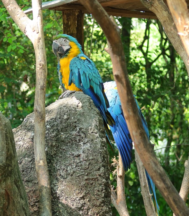
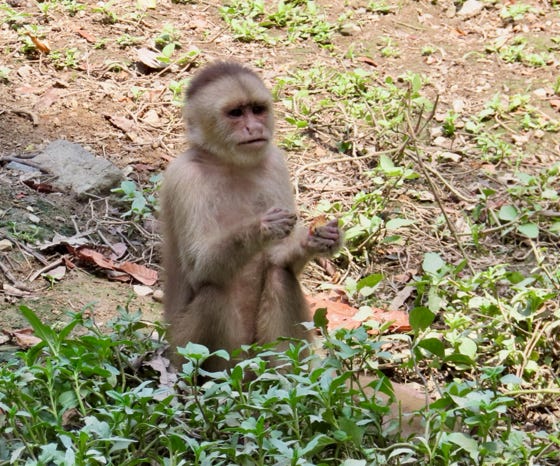
A blue and gold macaw and
a capuchin monkey at the
historical park.
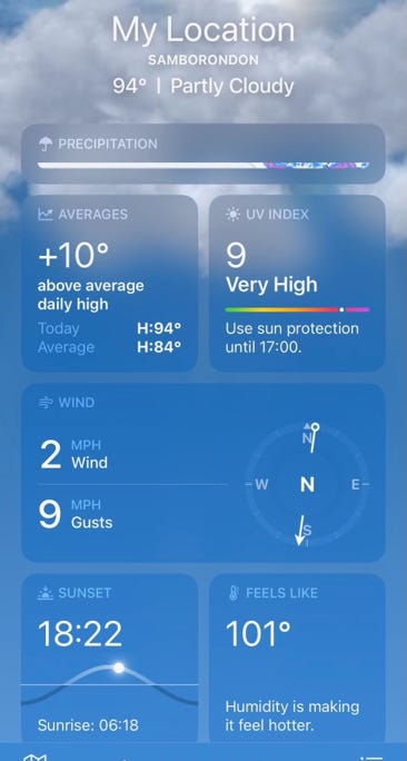
Did we mention it was hot?
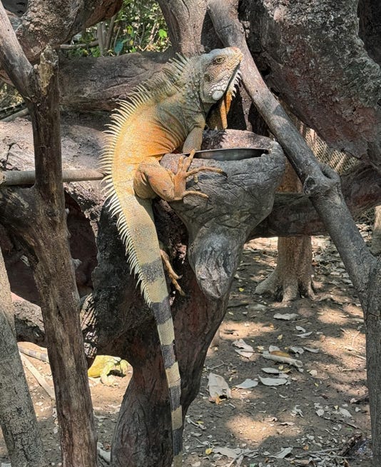
Below are some more animals
from the park. The bright
green reptile to right, is a juvenile green iguana, with the adult to the left. Bottom right is one of the historic buildings.
We then took a guided tour of a nearby small chocolate plantation. We learned about the cultivation and processing of cacao and why the cacao grown in Ecuador is superior to most of the cacao grown elsewhere in the world, as mentioned above. We then moved on to an air-conditioned room, where we learned more about the historical production and consumption of cacao products and tasted several different iterations.
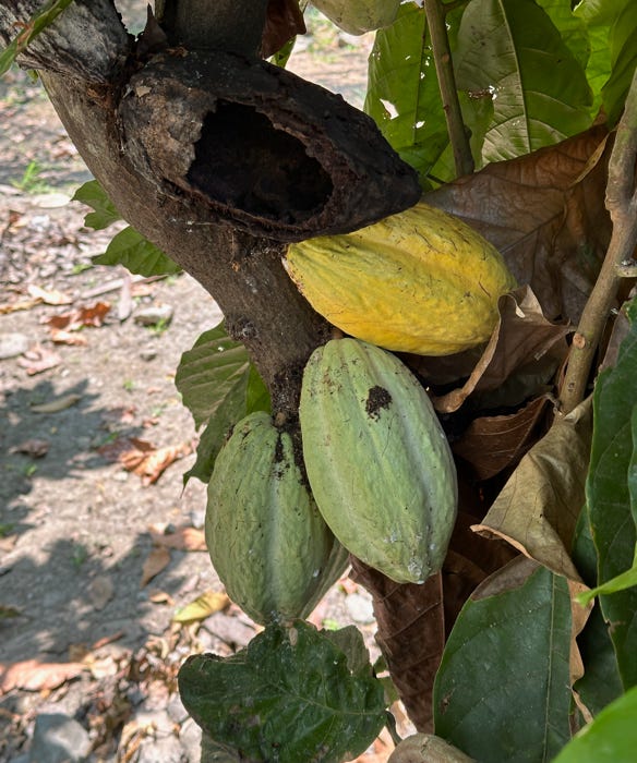
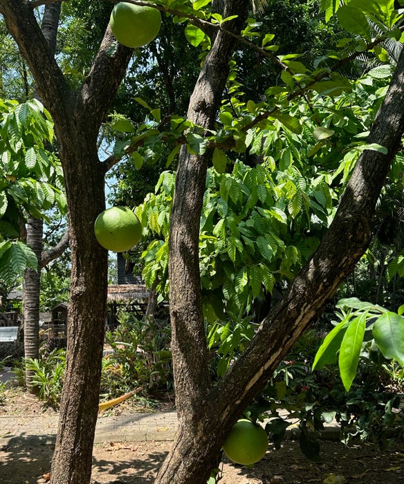
Cacao pods on a tree to the left, and a mate tree on the right. The mate fruits are
made into bowls for drinking chocolate.
After lunch at the hotel, we went back to the animal park to sharpen up our camera skills. It was hot! Our iPhone reports that the temperature was 94F, ten degrees above average; with the humidity, it felt like 101F!
We also met with the tour director for our Galapagos cruise to get the scoop on what we are doing tomorrow, as we will leave for the Galápagos Islands. We then relaxed in the hotel courtyard on an umbrella covered sofa before venturing out for dinner.
April 12, 2024
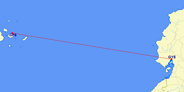
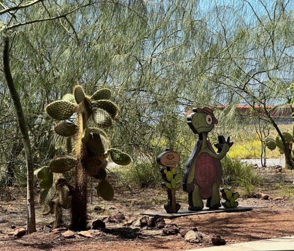
We had a slightly later breakfast at the hotel, joined up with the other expedition members and were taken to the Guayaquil Airport. From there, we took a domestic flight lasting about one hour, forty minutes to the Galapagos Islands, landing on island of Seymour, also known as Baltra (airport code GPS), a distance of 727 miles. Baltra is not the official name of the island, but reflects the use of the island as a naval base by the United States during WW II. Here is a map of the flight and the welcome at the airport.
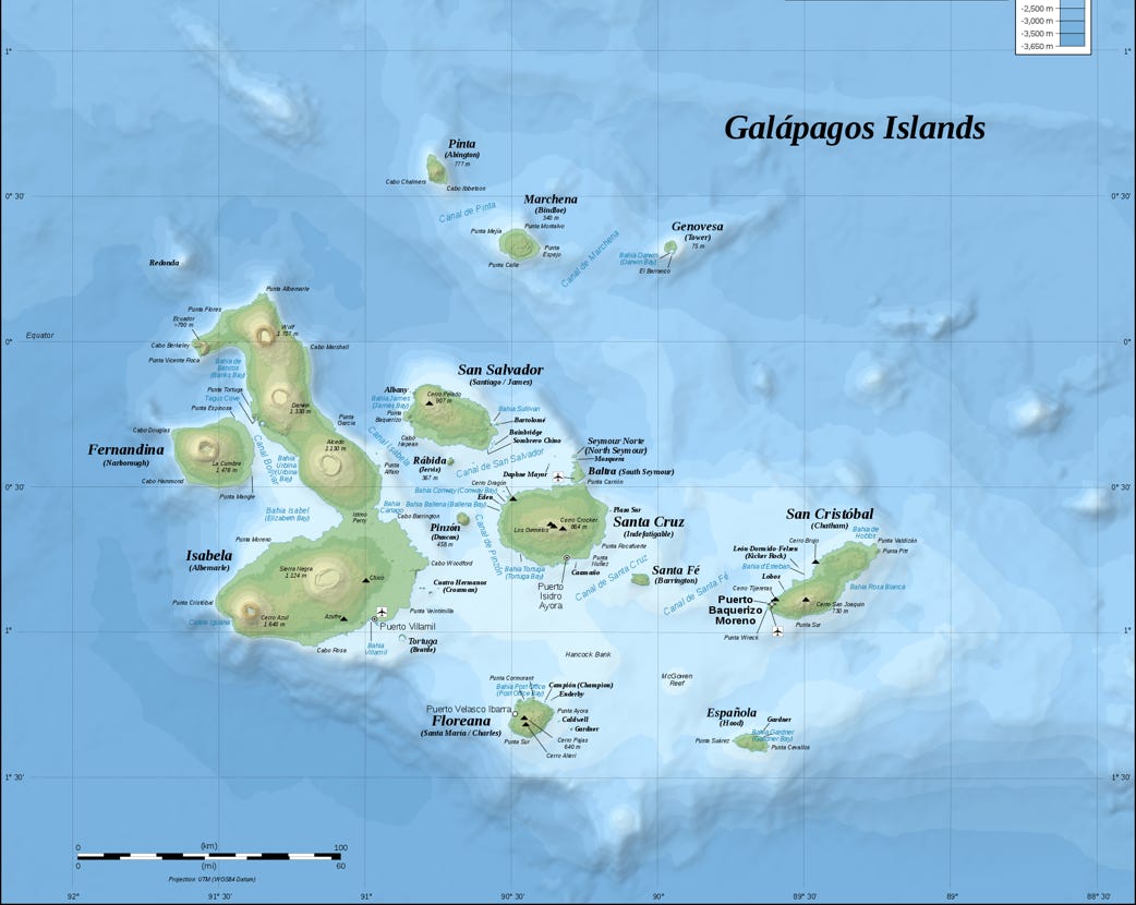
The Galapagos Islands are a UNESCO site, consisting of a volcanic island group off the west coast of South America, and were “discovered” by Europeans in 1535. The islands had no inhabitants at that time. Over the next 300 years, the islands were visited by explorers and pirates who plundered the natural resources (hunting of giant tortoises for meat was common). The islands were claimed by Ecuador in 1832, just prior to the time they were visited by Charles Darwin. There were still no permanent settlements during the time Darwin and the HMS Beagle spent five weeks there (1835). We were surprised at the short amount of time Darwin spent touring the islands given the importance of the islands to Darwin’s work. After a few false starts, European settlers started permanently inhabiting the islands from the 1920’s. Currently the population is around 33,000, with most residents living on the islands of Santa Cruz, San Cristóbal and Isabela (with Baltra and Floreana being the only other inhabited islands, each having very small human settlements). Galapagos National Park was established over the islands in 1959. Here is a map of the major islands. All the islands we visited were in the South/East of the archipelago and below the Equator.
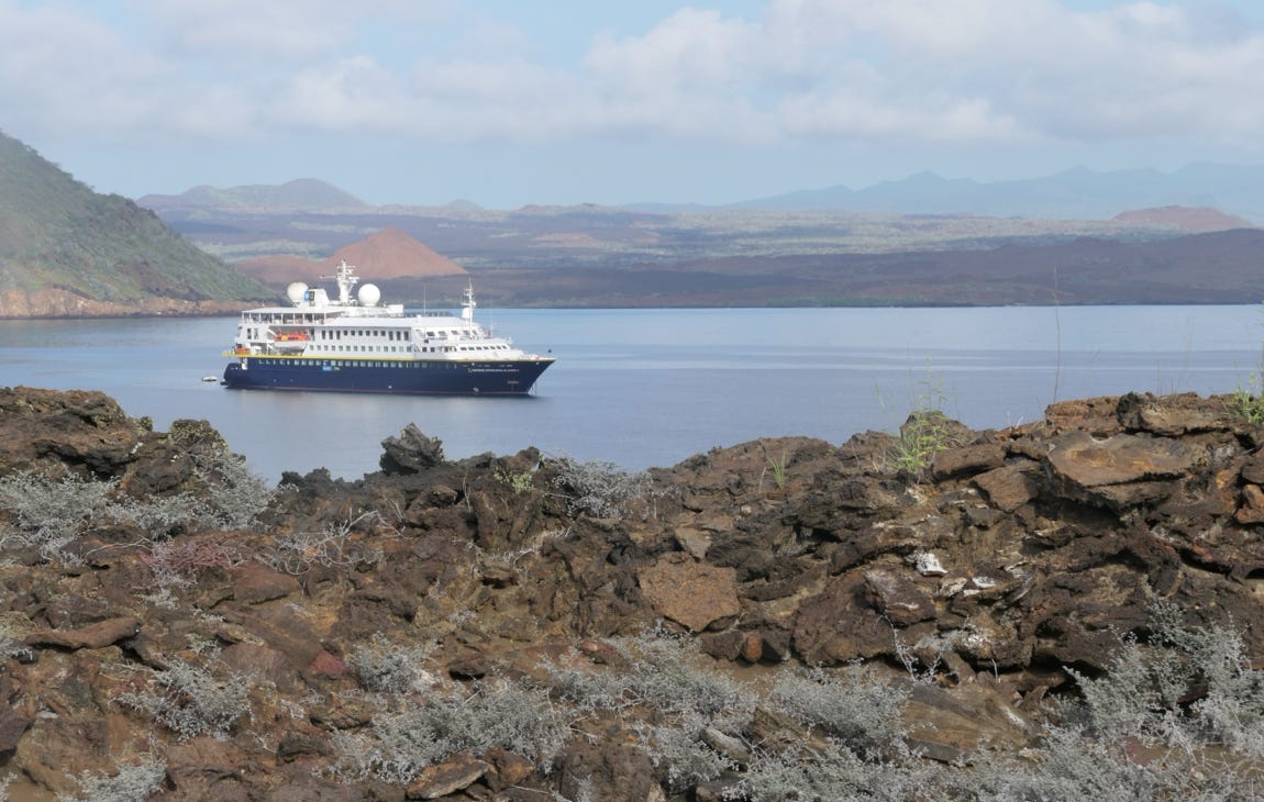
A short bus ride took us to a pier from which a Zodiac boat took us out to our ship, the NG Islander II. We spent the afternoon in a series of briefings and orientations and were fitted with wet suits and snorkel gear. After that, the ship circumnavigated a small islet called Daphne Major while we had wine on the deck and watched the sun set. We then received an introduction from the ship naturalists and a briefing for tomorrow’s activities. The naturalists were all Ecuadorians, and two were actually from the Galapagos. We were told about the very strict rules for visiting the islands, including the facts that tourists are not allowed to go anywhere outside of the few towns without a naturalist/guide, the ship’s itinerary is set by the park and the sizes of tour groups and ships are regulated.
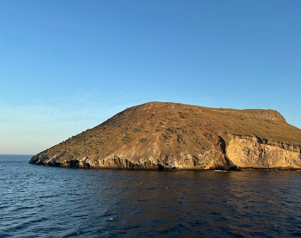
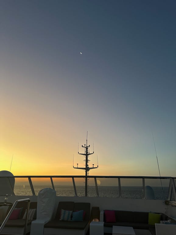
Above left is Daphne Major, and sunset on the ship the first night.
Below is the NG Islander II, our home for five nights.
Tomorrow, we will go ashore to visit our first island in the Galapagos.
