Geiranger
Sognefjellet and Lom


Tuesday, June 18, 2024
We left Sogndal and retraced our steps in the direction of Skjolden. The clouds were low and rain was coming and going, but there was an incredible reflection of the mountains in the fjord. Once we got to Skjolden, we continued east on route 55, away from the fjords, and took the scenic route called Sognefjellet, meaning “above the roof of Norway.” The road climbed slowly at first and we had views of fertile farm valleys.


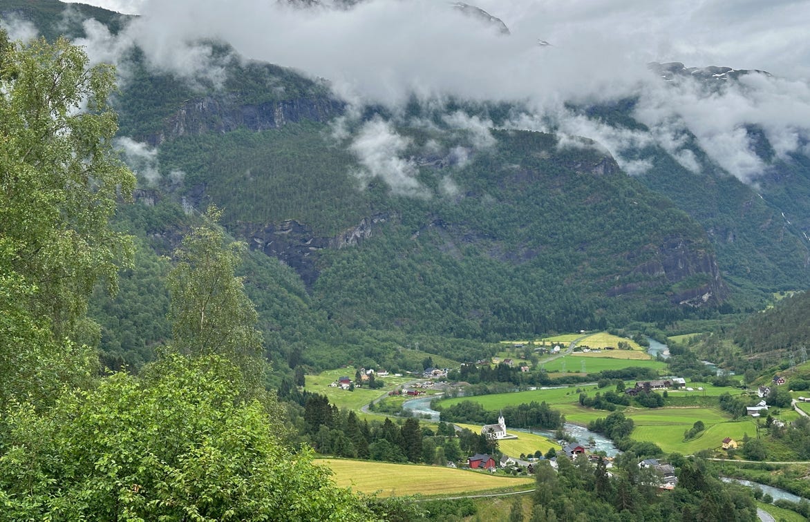
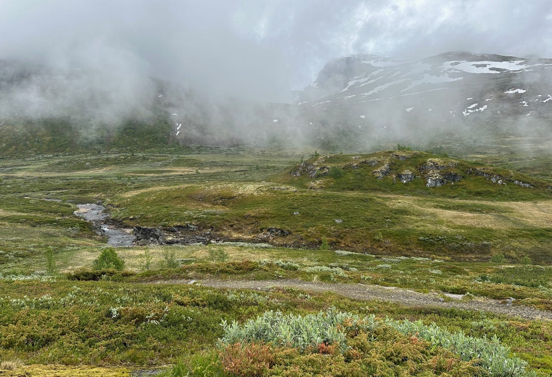
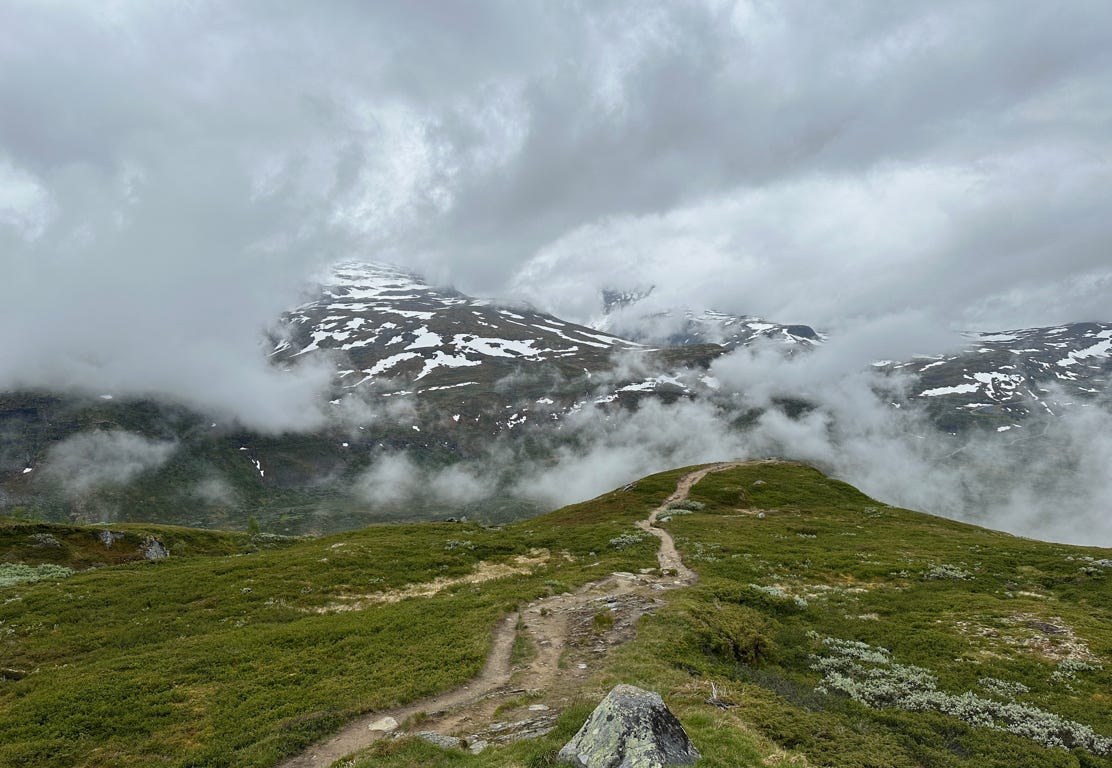
Eventually we drove above the tree line and we stopped at several viewpoints where there were lakes, waterfalls and rugged mountains. As we drove higher, there was more and more snow on the ground, not to mention fog and/or rain. At the summit, 1,397 meters, the temperature was 5C. Much of the way up, clouds had obscured some of our viewing, but it was still beautiful. The views got even better as we drove down from the summit. We were in a saddle between two national parks. At one place we saw people cross country skiing. All along the route, despite the rain and temperature, we saw quite a few bicycle riders and hikers. The Norwegians are nothing if not hardy.
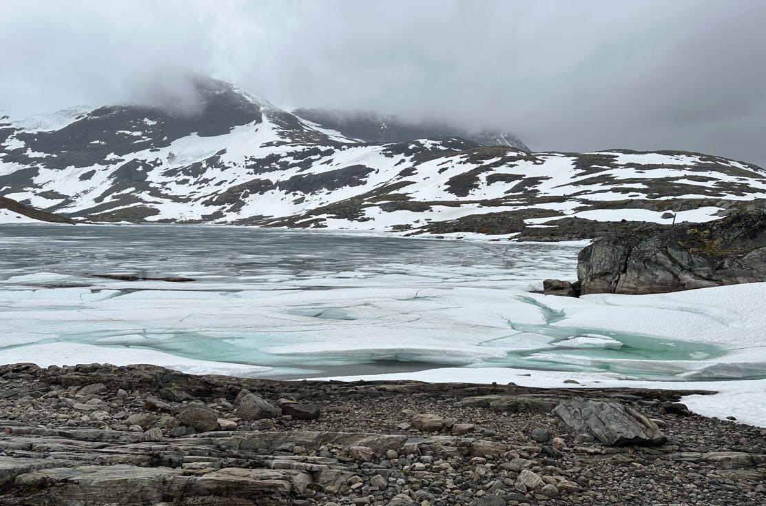
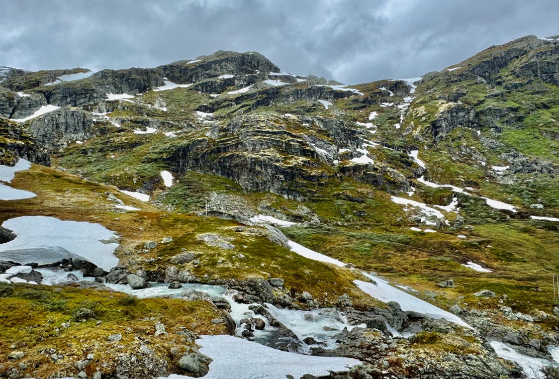
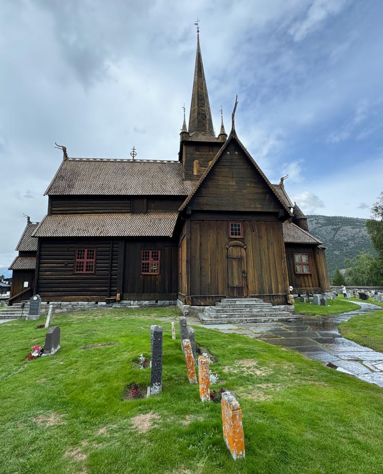
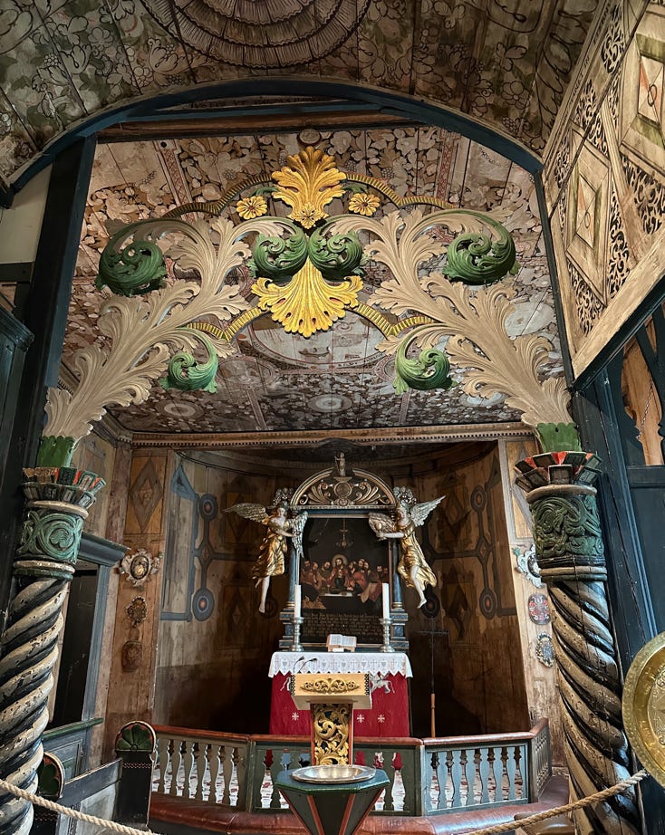
The end of the scenic route brought us to the bustling town of Lom. Here we visited one more stave church, another fine example of the genre. Each one is different and we are glad to have visited three of them.
After lunch, we visited the Norsk Fjellsenter, a museum that includes a large exhibition of glacial archaeological finds. The museum also had films and interactive exhibits about climate change and weather that causes changes in the landscape, plants and animals. Lom is located at the intersection of three national parks, making it a busy tourist center. We were lucky that the rain stopped for the time we spent there, because it returned with a fury later in the afternoon.
We then drove north along highway 15, which follows a valley between two high ranges of mountains, with several rivers and lakes connecting them. Eventually, we turned on highway 63, (the start of another Norwegian scenic road) where it started to rain really hard. The landscape featured barren rock, ice and snow and small lakes. We could tell that if the sun was shining it would be breathtaking.
After reaching the summit near Dalsnibba, we drove down towards the town of Geiranger on an incredibly steep road, having a ten percent grade and a good deal of bus traffic.
Some notes about driving in Norway: frequently the roads are too narrow for two vehicles to pass, which we first experienced driving up to Stegastein viewpoint. Periodically, there are wider areas marked with an M on a blue sign where one vehicle can pull out to let the other pass. Sometimes backing up is involved, and quite a bit of skill is required. But by and large drivers were polite and patient. Speed limits never were higher than 80 km per hour, except on divided expressways, and we only drove on those rarely. A good portion of the time, it was not possible to drive anywhere near this speed limit (and if you exceeded it, the car beeped incessantly). Also, tunnels are prevalent and can be very long (many kilometers). In a few places there may be a scenic route that avoids a tunnel and takes longer, but most of the time, the tunnel would be the only route from point A to point B. Most of them were reasonably well lit, but the very long ones got fairly monotonous. Purchasing gas was also something of an issue until we learned that although the gas pumps would almost universally reject our American credit cards (which have PINs by the way), the pumps gladly accepted Apple Pay (which used the same credit card of course). Our mapping applications exhibited fewer problems than in Croatia, but still sometimes tried to send us places you could not drive. The time estimates proved fairly accurate except where there was road construction, and of course, did not take into account the fairly frequent stops.
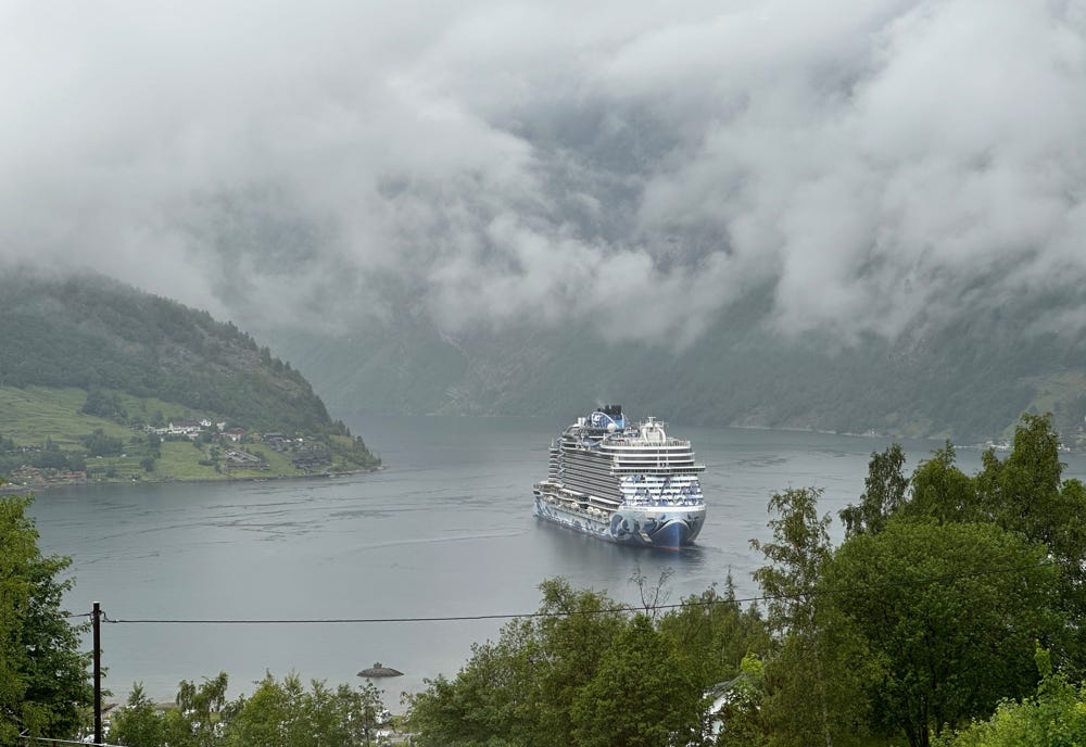
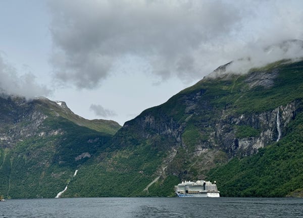
Our first view of Geirangerfjord, in the rain and mist.
Geiranger, despite being a small village, is a major tourist center and was bustling even in the rain. After checking in to our hotel, it was raining quite hard, so we walked a very short distance to the Norsk Fjordsenter. This museum focuses on the inscription of the Norwegian fjords on the UNESCO list. It has several breathtaking films and excellent exhibits about the history and development of the area, in addition to information about the geography and natural history of the Geiranger area.
We have now seen several museums in the fjord areas that are quite informative and very well done.
Tomorrow, our plans rely on the weather getting better.
Wednesday, June 19, 2024
We awoke in Geiranger to see that it was still raining. It had now been about 24 hours of mostly rain, or a bit longer. Our phones told us it would stop in an hour or two, and we hoped for the best. We checked out of the hotel and drove a short distance down to the village and parked near the port. It then stopped raining, yippee, and we boarded a tour boat, taking a one hour cruise on the Geirangerfjord. The sun peeked out occasionally, and we saw dozens of waterfalls, evidence of landslides and tall canyon walls. We also got a fjord-level view of the Eagle Road, that we will drive on later. We also got an up-close view of a large cruise ship that was leaving the port.
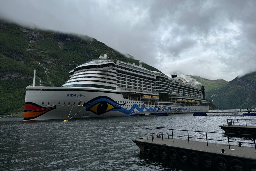
The weather still looked iffy for our planned excursion.
But as shown below, it got better as the morning progressed.
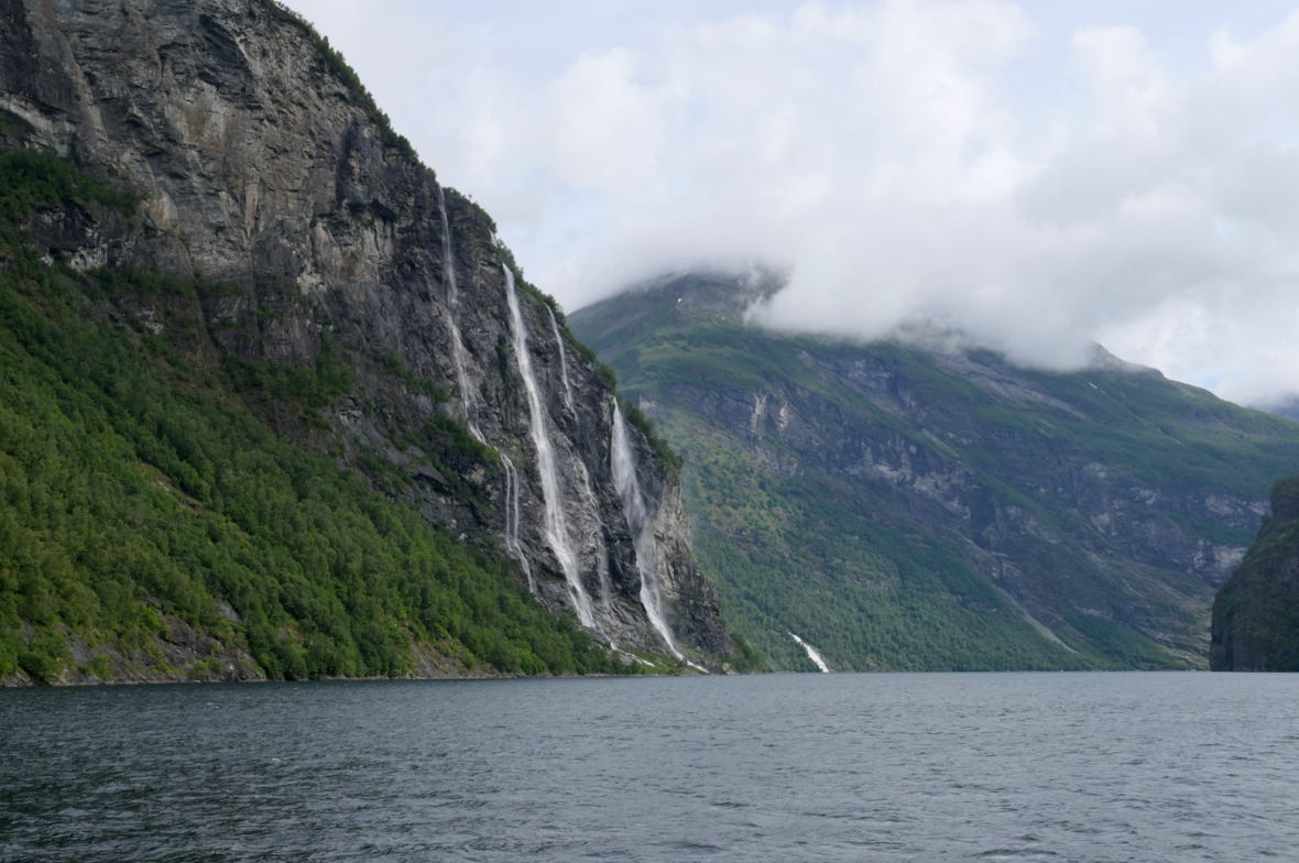
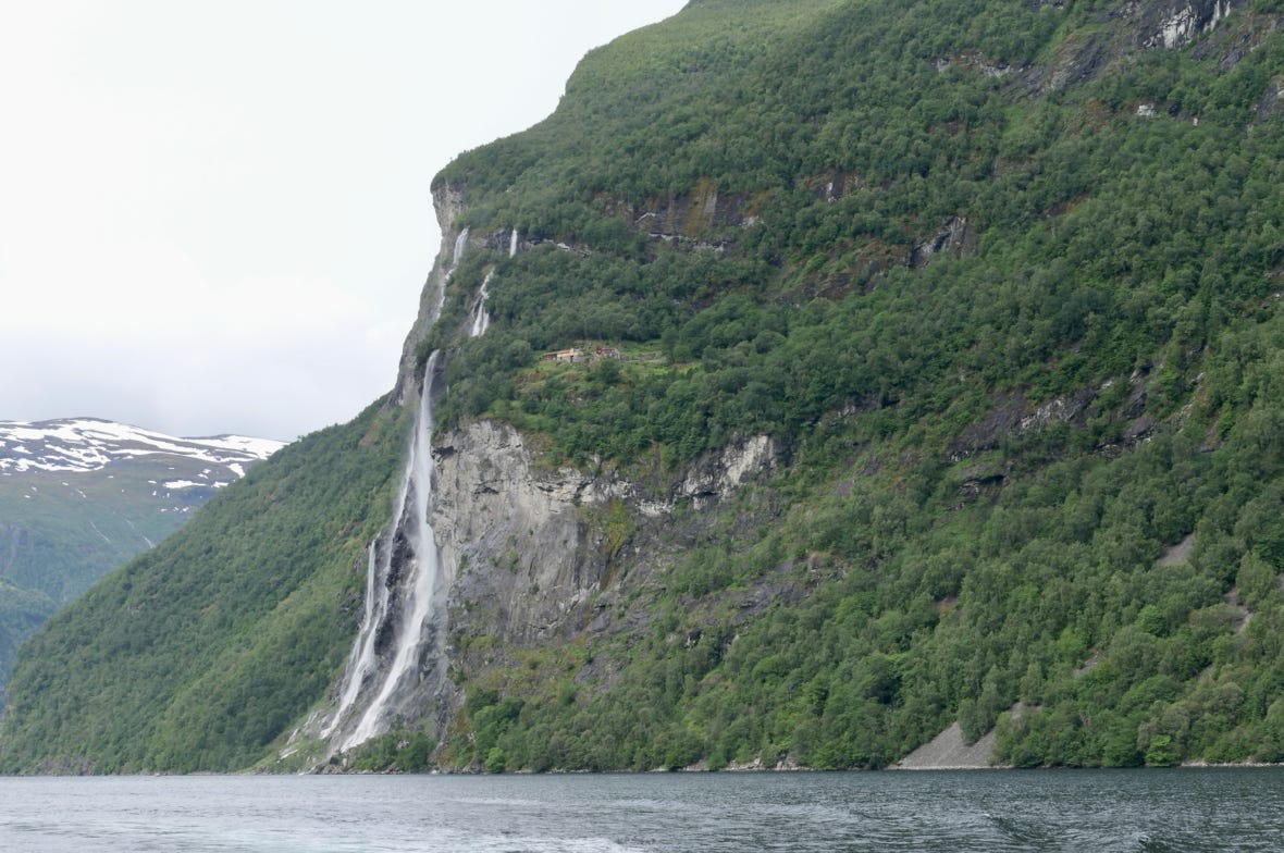
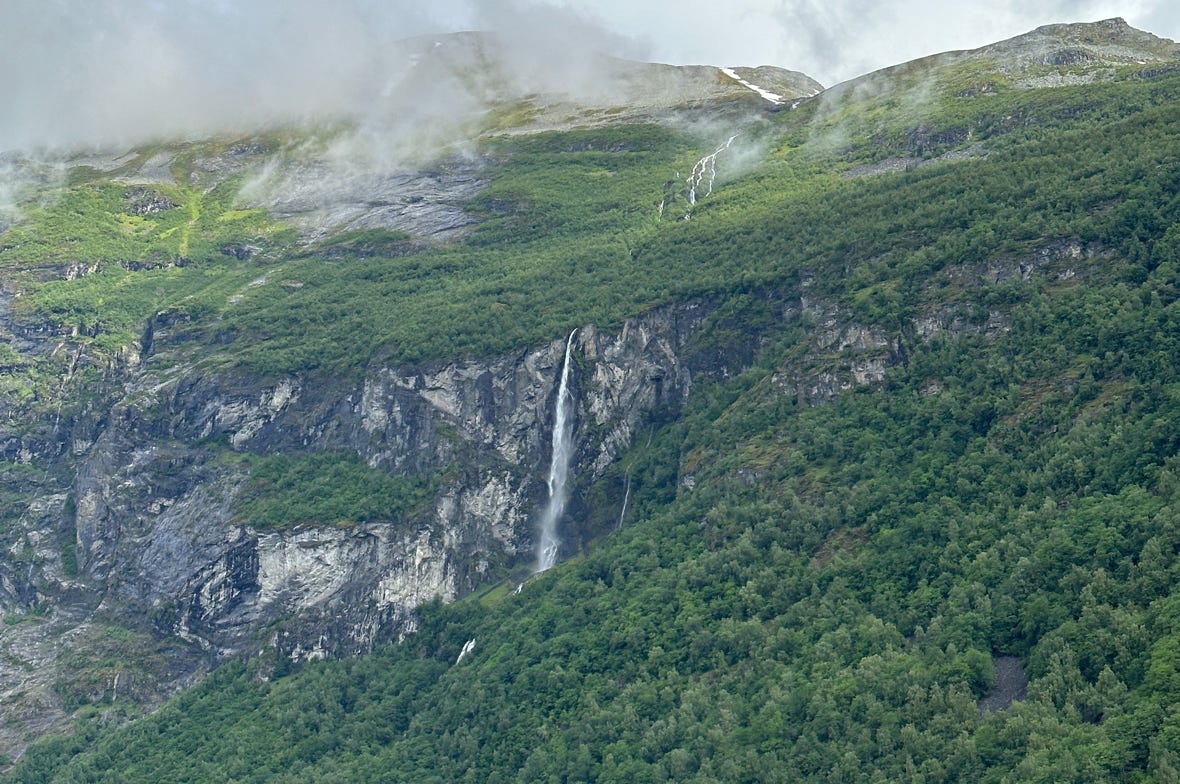
There were waterfalls everywhere!
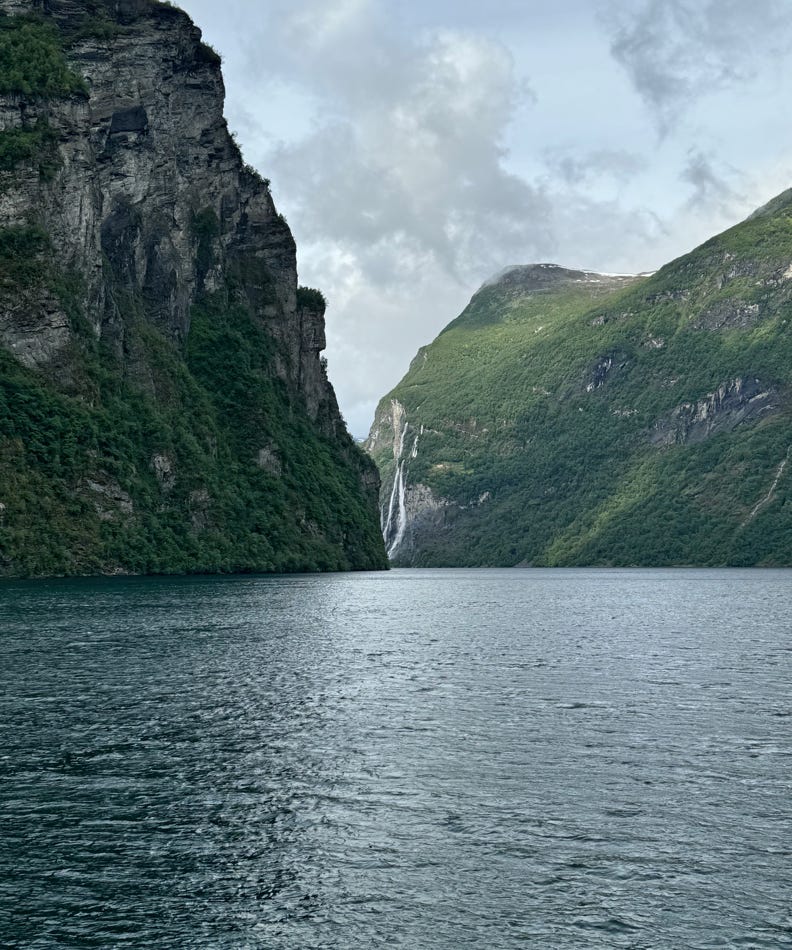
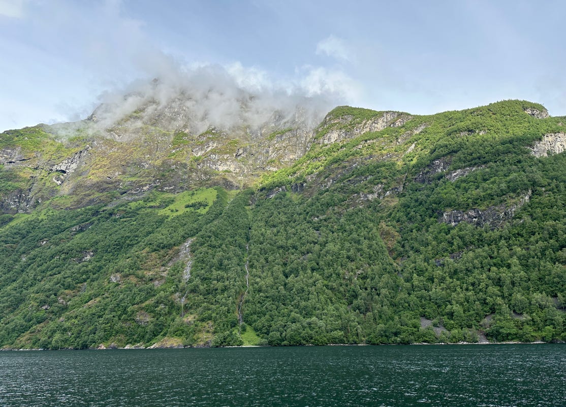
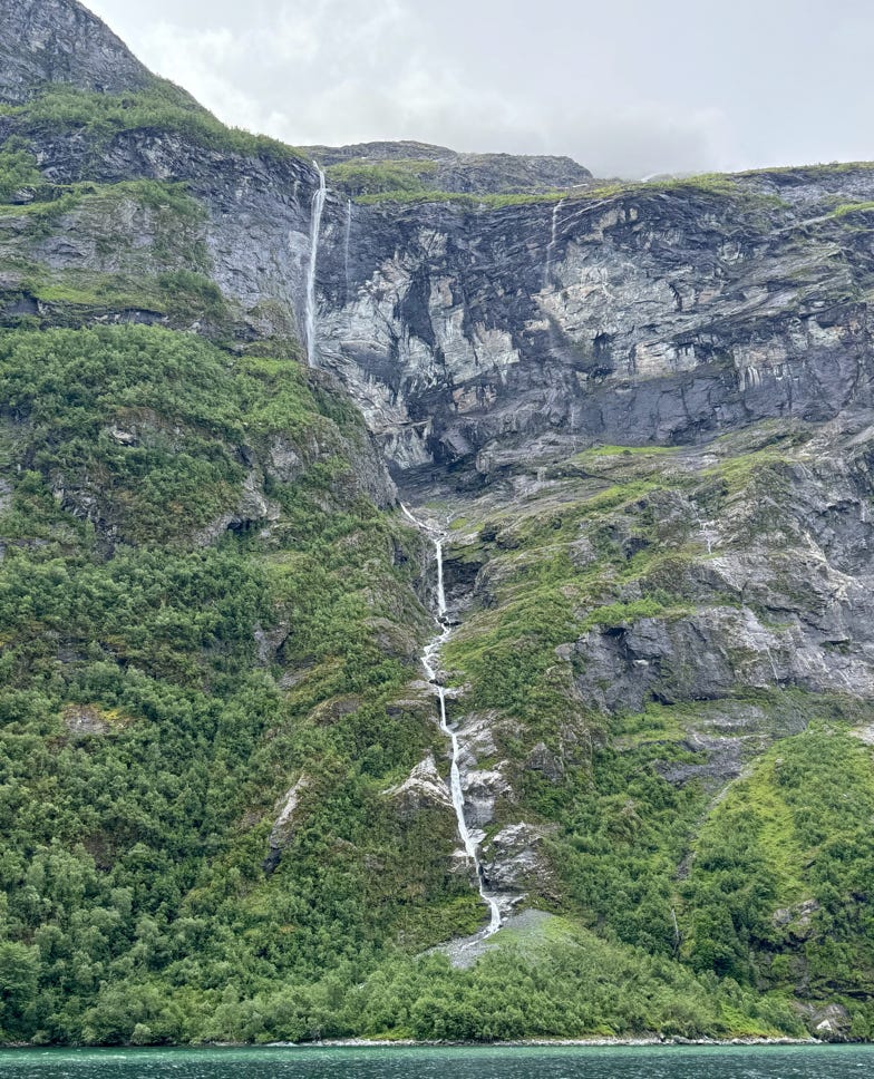
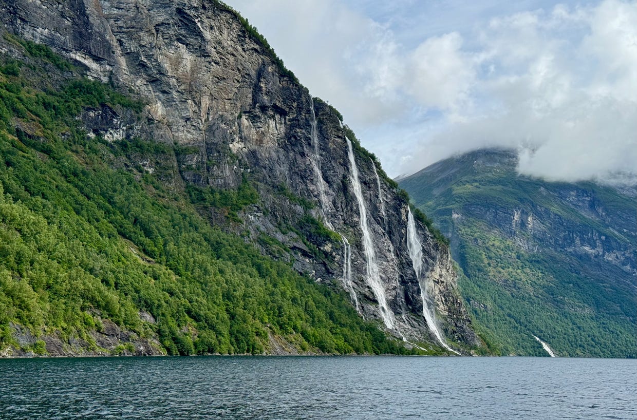
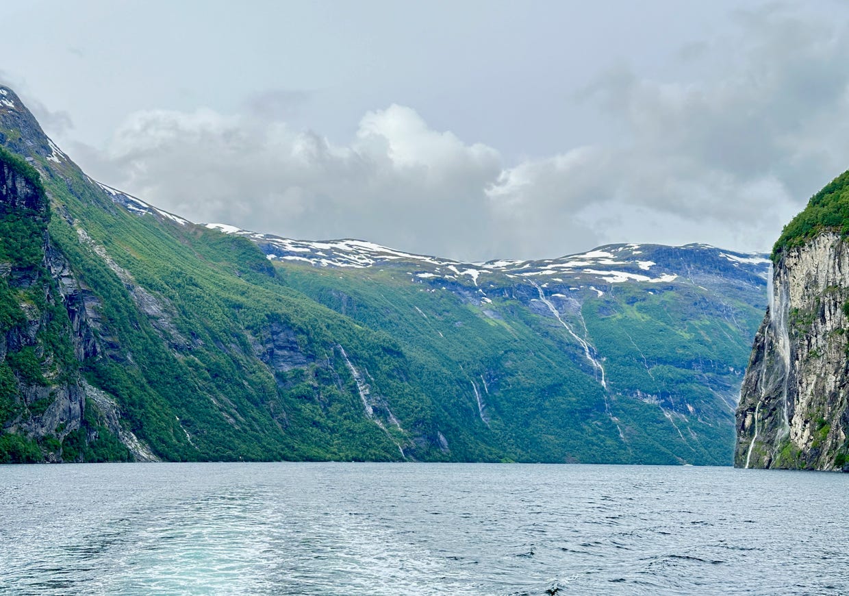
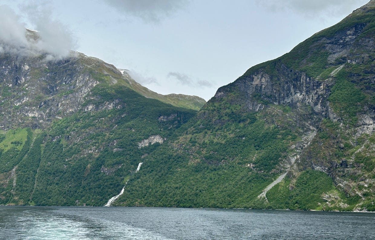
Much advice is given to skip Geiranger because of the crowds and cruise ships, but we have to say we thought this fjord and the Næroyfjord were the most beautiful and should not be missed.
After our tour was over, the sky was better and we decided to drive up to the viewpoint at Flydalsjuvet, not far above the town. The view was quite impressive, looking back down at the fjord. We then decided to take the waterfall walk in the village, so we drove back down to the parking lot we had used earlier.
From there we took at 15 minute walk along a rushing cascade. Most of the path was a staircase with 280 steps. We got drenched at one point on the staircase.
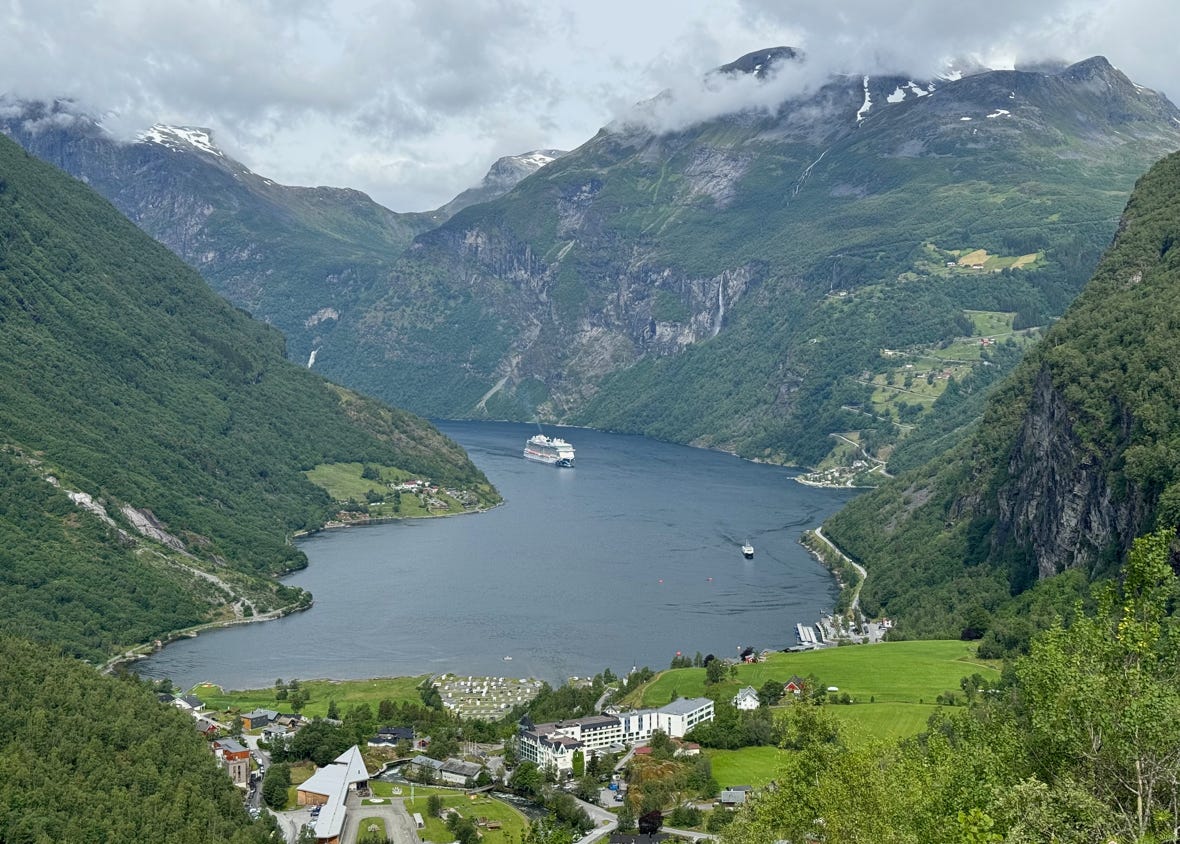
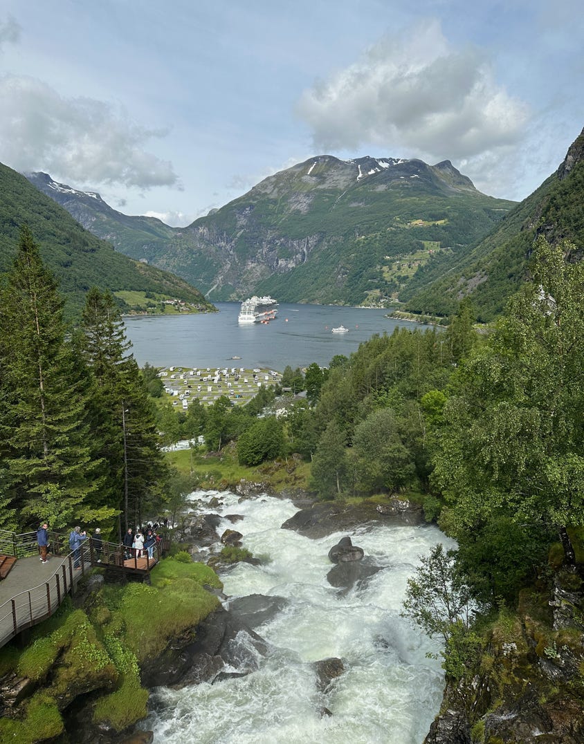
Top photo is view from Flydalsjuvet; lower photo from the waterfall walk.
When we got back down to the bottom, we noticed (via webcam) that the sky at the higher viewpoint called Dalsnibba had somewhat cleared up: instead of a completely fogged-in summit it had been an hour ago, there were now glimpses of the mountains and the fjord, so up we went.
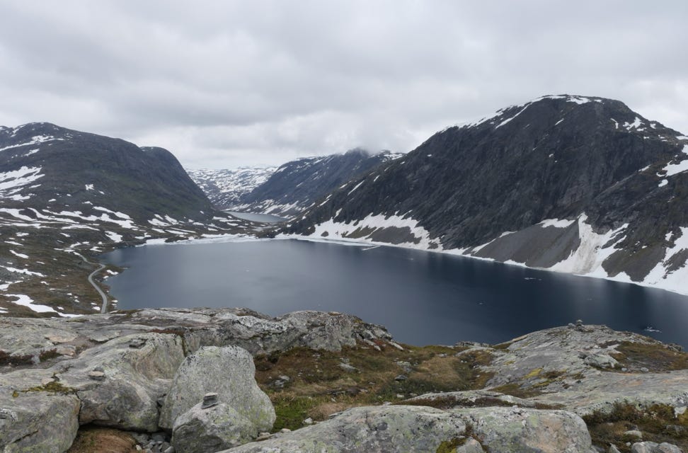
We drove uphill on Route 63 for about a half hour and turned on the short toll road to the Dalsnibba viewpoint. We drove past a partly frozen lake and were now above the tree line. The mountains were clad in beautiful, barren green-gray rocks and dotted with snow. We got out at the 1,500 meter viewing site to experience a bracing 4C. We got a great view of the fjord below and a minute later the fog blew back om. So we went inside the visitor center and had lunch in the café to wait it out. When we came back out there was less fog. We took a few more photos and headed back town the twisty road into town.
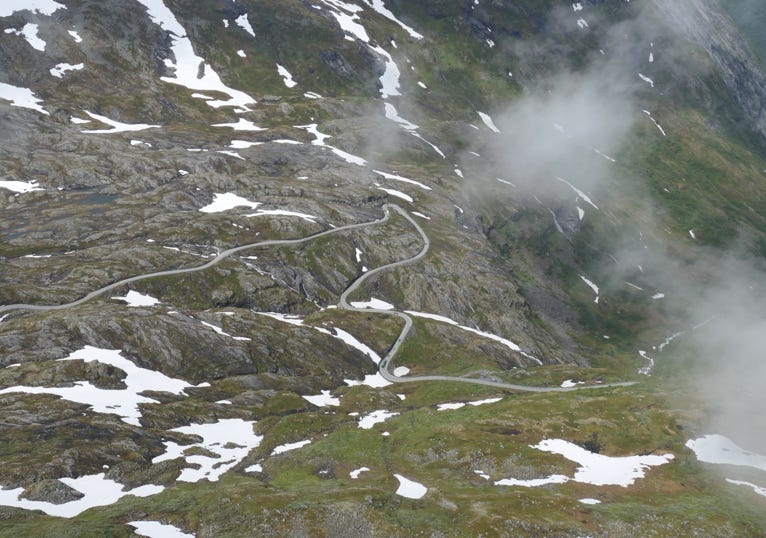
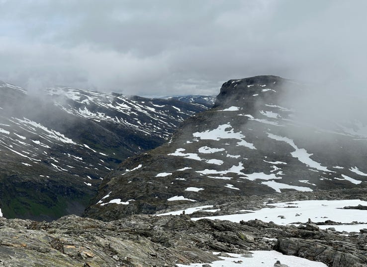
Left, the Dalsnibba “toll” road; right, view from the visitor center.
Below a bit less fog after lunch. And an icy lake nearby.
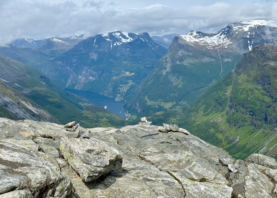
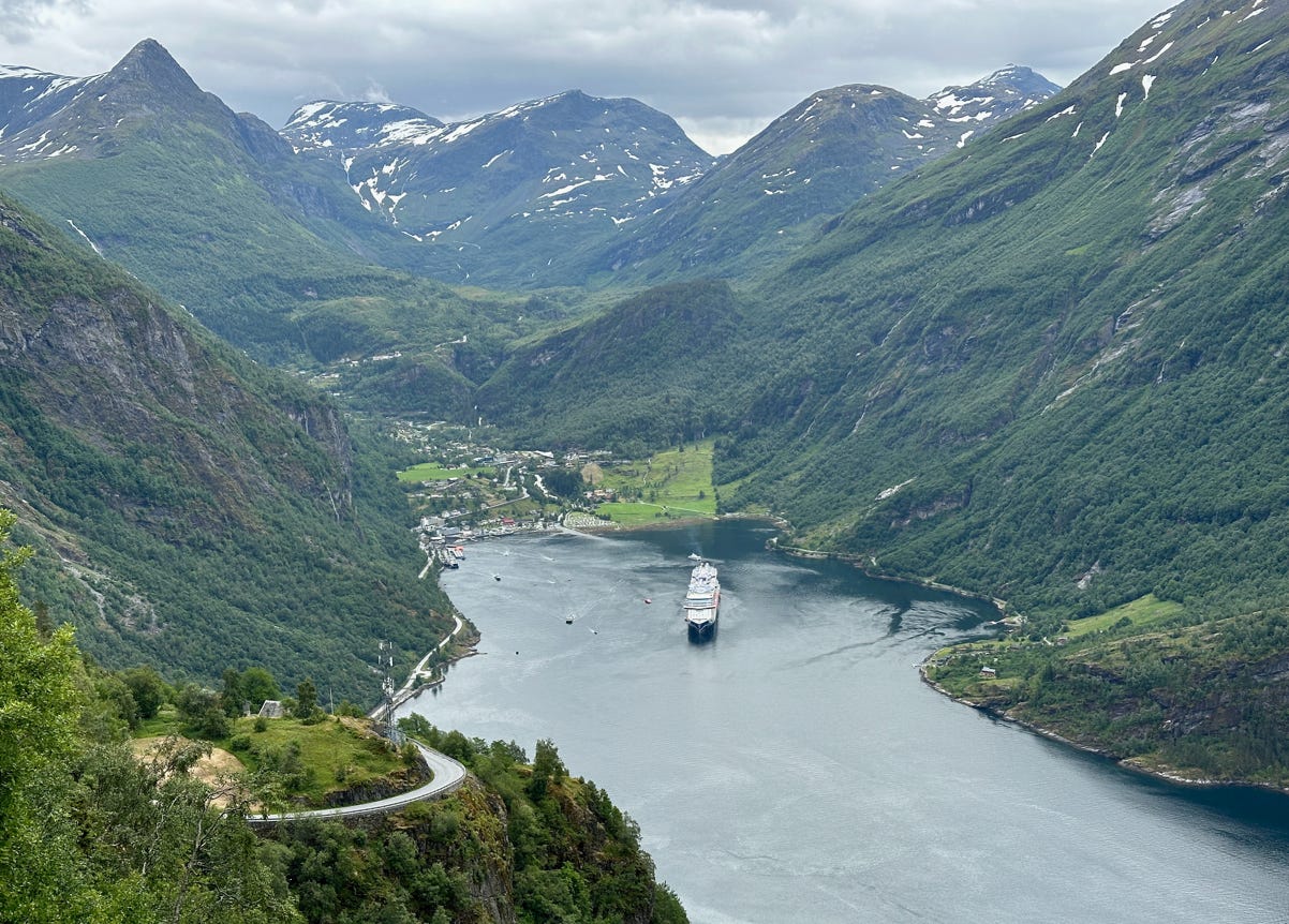
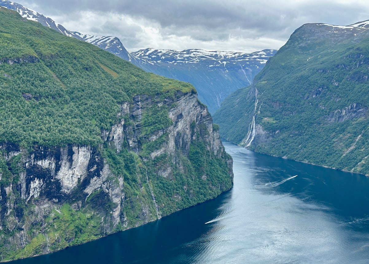
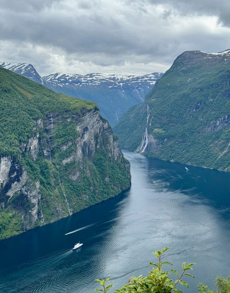
After we reached the Geiranger Village, we continued up Route 63 over the Eagle Road to the Ørnesvingen (Eagle Pass) Viewpoint. This was a great vantage point of the mid-point of the fjord. Photos below.
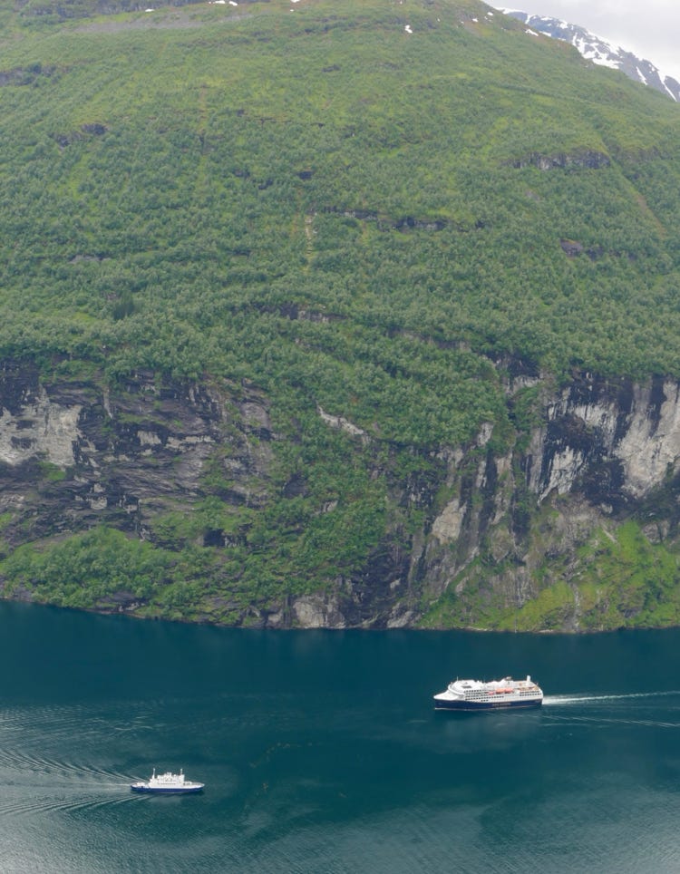
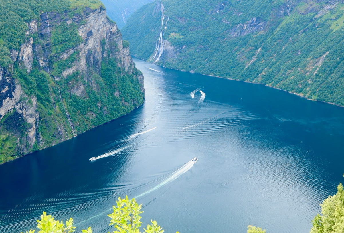
From there, we drove another 20 minutes or so to reach the town of Eidsal, located on a different fjord, Norddalsfjord. We boarded a popular, frequent ferry to cross the fjord (about a 15 minute crossing). In very short order after leaving the ferry, we reached our night’s destination of the very small village of Valldal. Our hotel was located right on the fjord, and we had nice views throughout the evening.
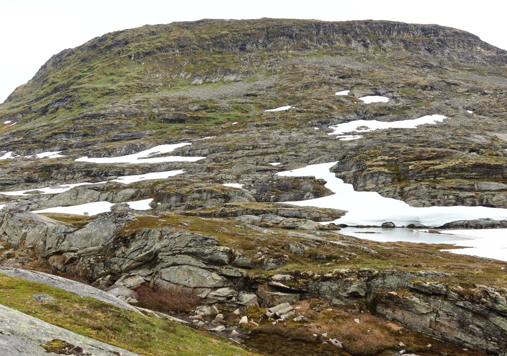
Summit after the viewpoint on the Geiranger-Trollstigen Scenic Route.
Below fjord view from our hotel in Valldal.
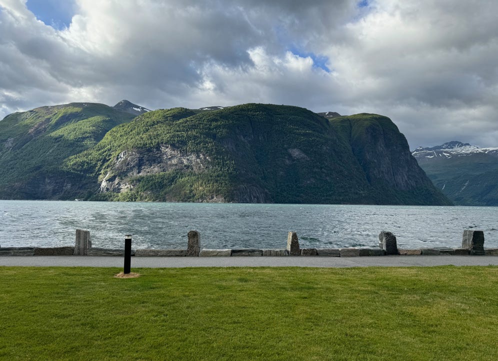
While at our hotel, we learned that all the rain on Tuesday had caused a rock-slide, and the road over the Trollstigen was closed. We’re not sure what tomorrow will bring since there are thoughts it may re-open.
Preview, the map below shows our drive from Sogndal to Geiranger and beyond.
